
Thematic Mapping is part of the photo interpretation process.
It takes the photo interpretation procedure to the next level of creating a GIS model with attribution and full analysis capabilities.
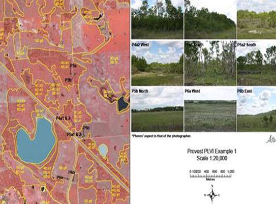
While the photo interpreter is focused on digitizing the various geospatial classifications, the thematic mapping focuses on bringing that data together so the various polygons, lines and points carry information.