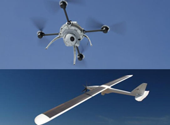

Drones or UAV’s (Unmanned Aerial Vehicles) are the latest technology for collecting digital aerial imagery.
Drones have some advantages over traditional aerial photography collected from an airplane but also major disadvantages.
The major disadvantages of drones are their limited coverage capacity, inferior imagery and limited accuracy.
It is important to understand the capabilities of the various methods of obtaining aerial imagery and the best sensor for your project.
AGMC will evaluate your project goals and recommend the best technology. Since we don’t have our own equipment we are not biased
Into recommending a methodology that suits our hardware.