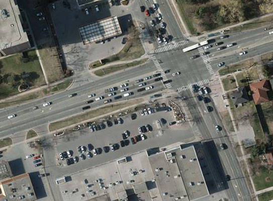
Satellite imagery has come a long way from the earliest sensors.
Today there are numerous satellites to choose from.
Some have high resolution (30-cm pixels) while others low resolution (2.0-meter pixels).
Most satellite imagery is georeferenced, but the accuracy of the positioning varies from hundreds of meters to sub-meter.
It is important to understand the differences to meet your project requirements. AGMC will assess your needs and recommend the best
Satellite imagery to suit those needs.