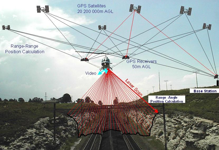
AGMC works with all the major LiDAR companies. Since we do not have our own airplanes and LiDAR equipment…
AGMC has contacts at aerial photography companies throughout North America.The most expensive portion of the aerial…
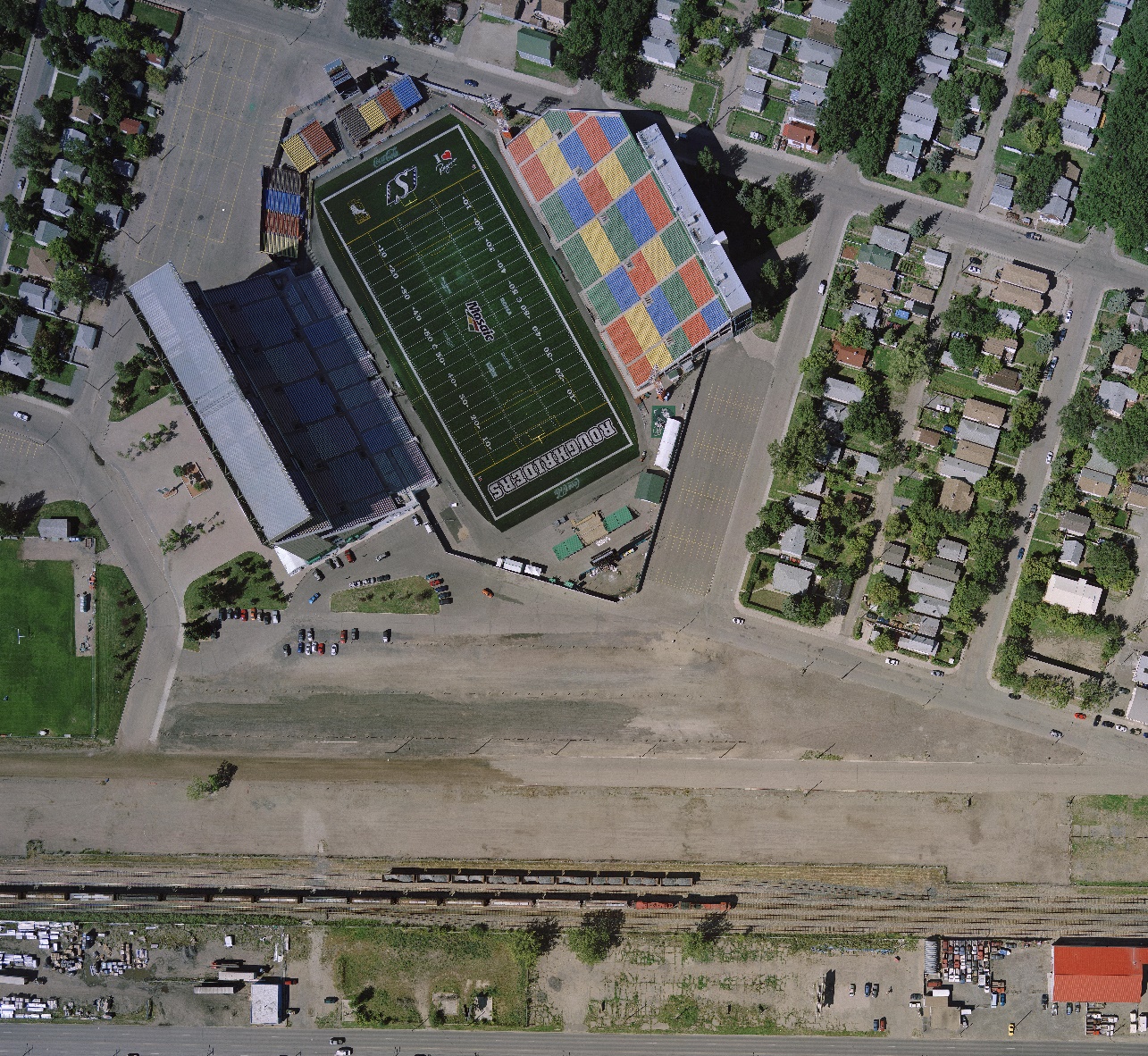
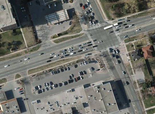
There are many types of orthophotography with varied resolutions, so it is critical to know what resolution is best suited for…
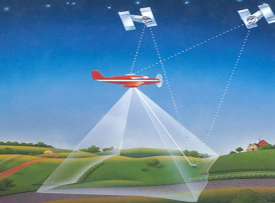
Satellite imagery has come a long way from the earliest sensors. Today there are numerous satellites to choose from….
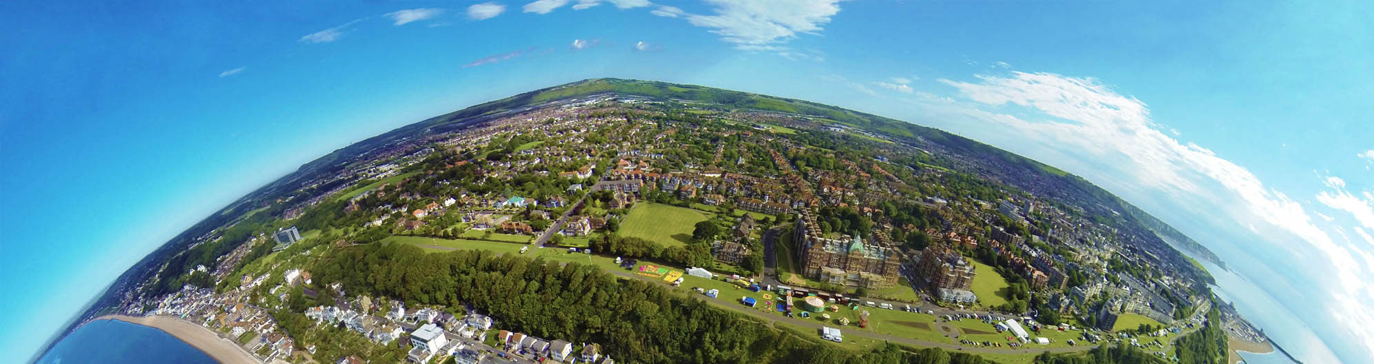
Aerial photography or satellite interpretation comes in many forms and types.Everything from geological to forestry…
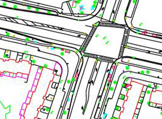
Digital mapping consists of everything from surface DEM data, to planimetric feature digitizing.Working from the stereo…
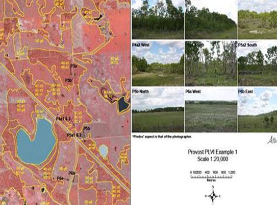
Thematic Mapping is part of the photo interpretation process. It takes the photo interpretation procedure to the next level of creating…
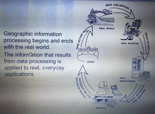
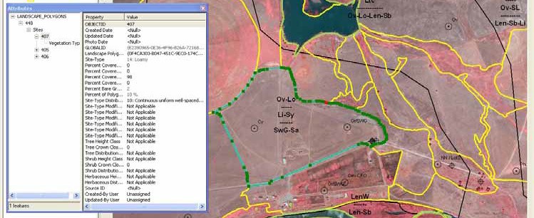
GIS (Geographic Information Systems) is a collection of geospatial data that contains information of the data. While a typical…
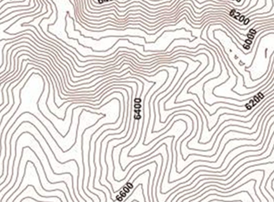
AGMC can generate contours from DEM’s produced from aerial photography, LiDAR or survey field collection. We use a number…
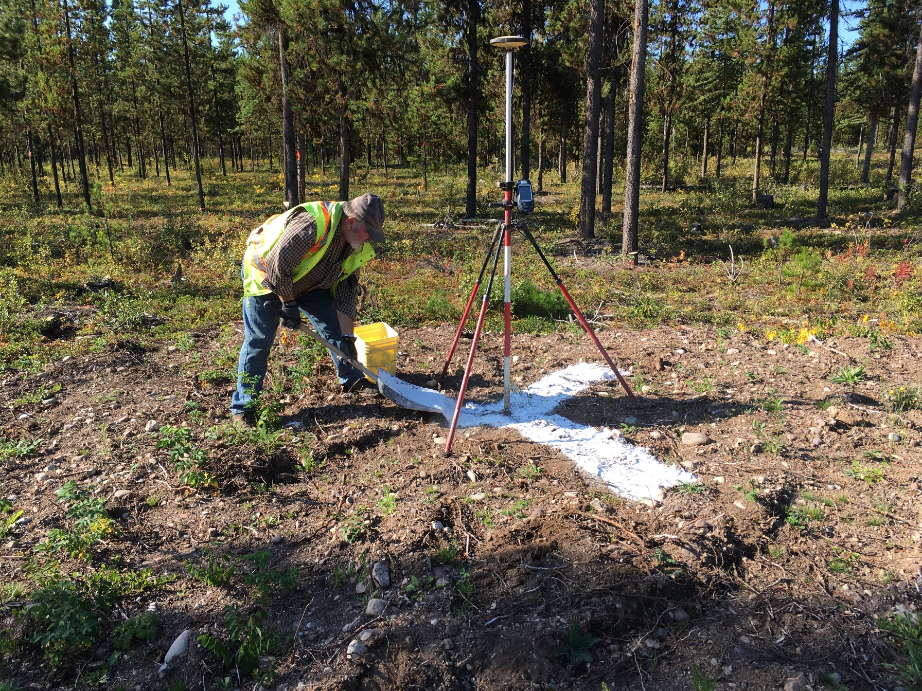
AGMC has been positioning ground control for over 40 years. Whether the ground control points are targets, or photo identifiable…
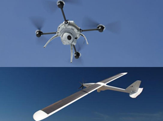
Drones or UAV’s (Unmanned Aerial Vehicles) are the latest technology for collecting digital aerial imagery….