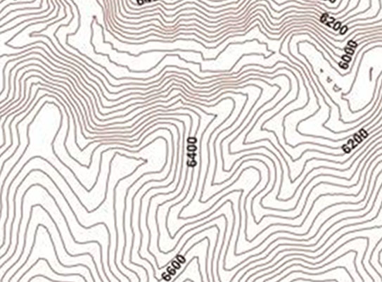
AGMC can generate contours from DEM’s produced from aerial photography, LiDAR or survey field collection.
We use a number of different contour software packages to create the contours, with each having different benefits. AGMC will pick the one that best fits your requirements.