Aerial photography or satellite interpretation comes in many forms and types.
Everything from geological to forestry interpretation can be done from aerial imagery.
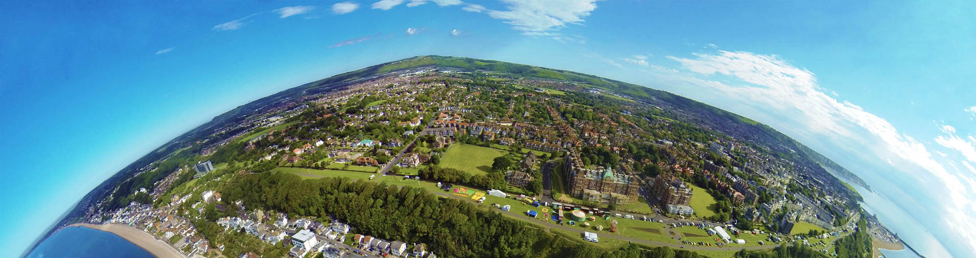
AGMC has extensive experience performing this type of mapping. With over 30 years of photo interpretation knowledge AGMC can create maps that classify the information you are seeking.
We network with other specialists in the various disciplines to aid in the classification which ensures the data is accurate throughout.